UPCOMING EVENTS

WHO WE ARE?
Being aware of the different systems in the practice of land surveying and geomatics in the ASEAN region, the ASEAN Federation of Land Surveying and Geomatics (The ASEAN FLAG) was established with the following aspirations:
- To realise close cooperation among members of the same profession and associated services in the ASEAN member nations in order to help promote the aspirations, objectives and principles of the ASEAN in accordance with the 1967 Bangkok Declaration, the 1976 Declaration of ASEAN Concord and the 1976 Treaty of Amity and Cooperation in South East Asia;
- To help maintain peace and promote prosperity in the ASEAN region through mutual cooperation and the advancement of the profession of land surveying and geomatics;
- and thereby, ASEAN countries with expanding economic and cultural relations will create more demand on institutions involved in land surveying and geomatics.
PARTNERS


Be a Member of the Premier Group of Land Surveyors
and Geomatics Practitioners
ASEAN REGISTERED SURVEYOR (ARS)
The ASEAN Committee of Competent Authorities on Surveying (ACACS) is working towards establishing a Mutual Recognition Arrangement (MRA) on surveying. As part of this initiative, the ASEAN Registered Surveyor (ARS) serves as an official recognition by the local authority that a surveyor is qualified, competent and legally authorised to carry out land surveying work in their home country. ARS registration is the first step towards becoming a Registered Foreign Professional Surveyor (RFPS) allowing you to carry out surveying work in other ASEAN countries, subject to the Competent Authority of host country.
NEWS & EVENTS
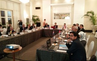
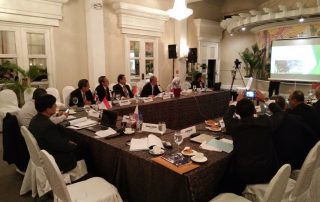
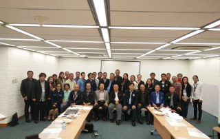
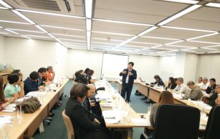
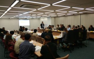
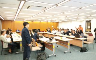
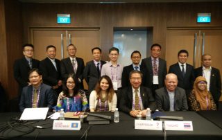
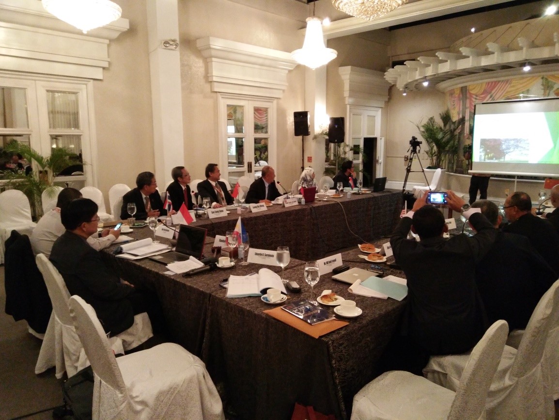
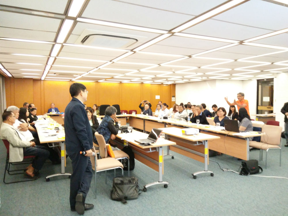
65th Council Meeting at Manila Hotel, Philippines
ASEAN FLAG President Randolf "Randy" S. Vicente presiding over the 65th Council Meeting held in Manila Hotel, City of Manila, Philippines on December 3 and 6, 2017. The meeting almost
Operational Guidelines on CPD for Philippine’s Geodetic Engineers
ASEAN FLAG President Randolf "Randy" S. Vicente, Chairman of the Philippines' Council of Continuing Professional Development (CPD) for Geodetic Engineers, has recently presented the draft Operational Guidelines on CPD for
MOCA at Suntec Exhibition and Convention Center, Singapore
President Randolf S. Vicente (1st seated from left) represented the ASEAN FLAG and the Professional Regulatory Board of Geodetic Engineering, Professional Regulation Commission, Philippines, during the Meeting of Competent Authorities